This
walk is not actually in London.
When
you hear London, perhaps your internal atlas opens on a shape somewhat like
this:
Officially,
this is the present extent of what is tellingly titled Greater London:
thirty-two boroughs bound within the eternal chain of the M25 motorway.
And yet, this map and that concept of London would have been
unrecognisable to anyone in it for most of the last two thousand years.
London
has traditionally meant a nucleus upon the river Thames – the City of
London. This was later supplemented with a second nucleus, the City of
Westminster. Most of the rest of this territory was a mix of tiny villages, rolling
farmlands, forbidding forests and bandit-ridden wasteland till the late
nineteenth and early twentieth centuries.
It
was only then, in the living memories of present-day grandparents, that
industrial urbanisation and suburbanisation flung out London’s tentacles of
road and rail to seize chunks off its neighbouring provinces (or counties
as the English call them, a word with Norman French origins). Middlesex,
west of the city and north of the Thames, was completely devoured, while most
of the remainder of this map was taken off Kent in the southeast, Surrey
in the south, Buckinghamshire and Hertfordshire in the northwest,
and Essex in the northeast. And it is those lands, now absorbed into the
London amoeba but retaining stories, cultures, landscapes and accents that
clearly belong to different worlds, that you will come into contact with if you
attempt the so-called London Outer Orbital Path long-distance
walking trail. better known by its acronym, the LOOP.
 |
| The route of the LOOP, as appears on its Transport for London
webpage |
Most
of this route's 24 sections still cover farms, fields, woodlands, riverbanks, parks, or
little villages that hold onto distinct identities. They are largely
devoid of bandits now (the traditional kind at any rate – it does pass through
the constituencies of several unsavoury Conservative Party MPs, among them
Uxbridge and South Ruislip, seat of a certain Boris Johnson). It is very green,
and people tend to greet you when they pass - itself a sign that London is far, far away.
Many of these locals might well be
descendants of people who resisted the encroachment of London and fought to
preserve their homes from its all-crushing notions of development. In the mid-twentieth century they managed to get that preservation formalised as the
Metropolitan Green Belt: a ring around the capital where new construction
has been heavily restricted, much to the consternation of the evangelical
free-marketeers and property speculators who have taken over the English
housing sector.
 |
| The ‘Happy Valley’ in deeper Croydon (Section 5). The ‘green and pleasant land’
is an important image in English national culture and has deep and historic
significance for both its celebrants and its critics. |
In
the 1990s, an expanded London’s municipal officials started getting together
with walkers’ organisations like
the
Ramblers to consider the creation of walking routes, to encourage
people to get out and explore these surroundings on foot. The London LOOP was
the most ambitious route to be proposed. Over the following years they worked
improve its trails to be as safe, accessible and
well-signposted as possible. The resulting quality varies, as many separate local
authorities are responsible for maintaining it, but the overall outcome is a high-standard
continuous route fully endorsed by the Mayor and Transport for London (TfL).
Still
stranded in this city, I set out to roam these outskirts in January this year. I
began its first section from the town of Erith, far to the east on the south
bank of the Thames, and taking it section by section as time and weather made
feasible, managed to complete the route on the opposite bank eight months
later. But that's only one way to do it; with a dedicated effort you could probably do the whole thing in one or two weeks.
Whether to escape the city for more natural surroundings, to exercise,
or to learn more about the English capital’s context first-hand, this is a walk
I recommend.
 |
| London in the distance from Havering Country Park (Section 20). |
 |
| Deer in Bushy Park (Section 9). |
Route
Details:
Length:
Approx. 242km (150 miles) total. Officially divided into 24 sections, which
range in length from short 5-6km strolls to day walks of 17-18km.
Access:
All sections can be reached by public transport, i.e. trains or London
Underground (Oyster Card accepted with one exception), or buses for more
remote locations. Most have convenient places to leave or return to the route
part-way, so you can split up or combine sections and tackle it however works
best for you. Because it is England, always check live transport service status
before travelling.
All
sections contain excellent picnic opportunities and most pass pubs, cafés
and/or kiosks.
The
best starting point is the official
TfL London LOOP website, which contains maps, route guidance and further
information for each of the 24 sections (here’s
Section 1 for
example). But if you would like to learn more about what you are walking
through, or have more detailed directions that will help when the signposting
is not so good, I strongly recommend walking with a guidebook as well; I found
Colin Saunders’s
The London Loop (Aurum Press) helpful.
(For
those who would prefer a shorter walking project closer to the city, there is
also the
Capital Ring,
which shares the same origins but is a more manageable 126km/78 miles.
Alternatively, if you prefer a more ambitious and transgressive approach to
walking, have a look at what the psychogeographer Iain Sinclair did in
London Orbital.)
 |
| The chalky Farthing Downs over Coulsdon, actually a piece of the North Downs projecting
towards the Thames valley (Section 5). |
 |
| The London Monster as confronted from the Addington Hills, Croydon (Section 4). |
 |
| Wetlands in the valley of the Ingrebourne, one of the Thames’s many
tributaries, near Upminster, Havering (Section 23). |
A
flavour of this journey’s stories and creatures follows.
Historical
Reasons to walk the LOOP
Naturally,
a route of this length in the orbit of the English capital brings you in
contact with a kaleidoscope of histories, each of which adds to a potential
understanding of one of the most chaotic and incomprehensible cities in the
world. It begins at the river Thames, the most important constant in London’s
story and origin of its existence. The Thames's tributaries bind many of the stories around it.
 |
| The Thames at Erith (Section 1). Out here it is not necessarily the river
that Londoners think they know. |
The
route sets off up one such tributary, the Cray, close to the present boundary
with Kent. Its course charts the decline of a once-proud industrial waterway
packed with mills and workshops.
 |
| But also wonderful chubby dinosaur topiary. These live at Hall
Place, Bexley, (Section 1). |
 |
| The upper Cray at Foots Cray Meadows (Section 2). |
Much
of the route, indeed, is haunted by once-monumental forces that have long since
taken their leave. Take as an example Nonsuch Palace, which those who have examined
the Tudor dynasty might have heard of in passing. In the 1530s King Henry VIII
demolished the entire village of Cuddington to build it on a site this route
goes straight through, but died before it was completed. It was named Nonsuch because
it was meant to be so superb that there was none other like it, but within
barely 150 years it had been torn down to pay off gambling debts.
 |
| Nonsuch Park, Sutton (Section 7) where Nonsuch Palace (and Cuddington before
it) once stood. Its excavation in 1959 was a pivotal moment in English
archaeology and there are displays on-site identifying its echoes. |
 |
| Another retired power centre: Havering-atte-Bower, in what used to be Essex
(Section 20). This tiny village that gave the borough of Havering its name was in
times of old a major royal headquarters with connections with Edward the Confessor
(c.1003-1066). It has since subsided into a rural retirement in the shadow of
large modern suburbs like Romford and Hornchurch. Now it is remote enough to
lack a train station and requires a bus ride to reach it. |
There
is another installation in London which sits atop communities it swept away and
right now plots to devour more, and which just as in the case of Henry VIII does so
for the vanity of those at the top of English society. But this is a palace that
still stands, in effect an independent principality which contains its own
world and runs it by its own rules. The extinct village of Heathrow has left
only its name to Heathrow Airport, a state-within-a-state which even now seeks
to overrun the village of Harmondsworth to build its third runway. Most know it
only from the inside, but the LOOP takes you around it and affords a rare
appreciation of its true footprint on London’s political geography.
 |
| Cranford (Section 10), one of the suburbs which adjoins Heathrow Airport and suffers
the near-constant roar of low-flying aircraft. It is named for the river Crane,
which flows around the airport’s grey expanse and, surprisingly, harbours
biodiverse thickets and meadows right next to that all-sterilising territory. |
 |
| Heathrow Airport and Henry VIII’s Hampton Court are the two great narrative
centres of gravity in the southwest, straining to pull the territories in
between into their spheres of influence. In the latter’s Bushy Park (Section 9),
some still favour more traditional modes of transport. |
Elsewhere
the locals keep their ancient history very much alive. After arcing through the
deep south the LOOP crosses the river at Kingston upon Thames. Its name,
“king’s town”, refers to the chiefs of the Anglo-Saxon kingdoms who contested
and eventually unified most of this island from the fifth to eleventh
centuries. By then Kingston had become their first royal borough and the site
where some of the most important early English kings were crowned.
 |
| The ‘Coronation Stone’, said to have been used in the coronation of seven
Anglo-Saxon kings, now in the grounds of the Guildhall in Kingston upon Thames
(Section 8). |
 |
| The Thames at Kingston Bridge, the one place on the LOOP likely to be full of
people. |
Then
there are the ruins of Royal Air Force (RAF) aerodromes, of which the LOOP
crosses two.
 |
| The airstrip at what used to be RAF Kenley (Section 5). The RAF carries a massive
emotional charge in the English national self-consciousness, largely because of
its successful defence against the Nazi Luftwaffe during the Battle of
Britain (1940) in World War II, which saw RAF Kenley come under heavy assault. The
RAF’s story is complicated however by its long record of colonial bombing which
the English often omit from the picture. A nearby pub, the Wattenden Arms, is
full of RAF memorabilia. |
 |
| A ruined turret at RAF Hornchurch (Section 23) in the Ingrebourne river valley,
now reincarnated as a nature reserve. The aerodrome is visibly commemorated,
its remnants like this explicitly signposted, and the visitor centre has a room
packed with historic RAF materials including pieces of aircraft. |
The
northern stretch of the LOOP features an extended trek through the greenery
that remains of the ancient
Forest of Middlesex, to eventually emerge upon the
Lea river, one of the most historic and significant of the Thames’s
tributaries.
 |
| A channel of the Lea near Enfield Lock (Section 20). The Lea is one of the most
heavily worked and canalised tributaries of the Thames and has marks the historic
boundary between London and Essex since a time when the latter was a separate
kingdom. During the industrial period City bosses liked to site their most
polluting industries east of it where regulation was lax. By convention the
natural river is spelt Lea, while in its human services, especially as a
canal, it is spelt Lee. |
 |
| A narrowboat owner uses a windlass to operate Enfield Lock. |
Rivers
like the Cray, Colne, Lea and Ingrebourne anchor many of these regions’ stories.
Most have powered mills for industry or agriculture, while larger tributaries
like the Lea are partially canalised. One waterway however is entirely
artificial. Two sections of the LOOP in the northwest follow the
Grand Union
Canal, part of a nationwide network that served as the bloodstream of the
industrial revolution and in so doing made a monumental impact on English
history.
 |
| The Grand Union Canal near Uxbridge (Section 11), lined with narrowboats. Canal boating nowadays is mostly recreational, but when these
waterways emerged in the late eighteenth century they were hard-working
transport systems. They gave rise to a unique canal subculture and carried the
goods and raw materials that were the lifeblood of the industrial revolution
till the railways emerged to replace them. The post-WWII pleasure-boating
movement saved many obsolete canals from ruin. Lately there is also a growing population of people living on boats having been priced off housing on land. |
And
occasionally one comes across surprising pieces of history – sometimes bitter,
sometimes inspiring, but most often of that quirky and idiosyncratic character that is sometimes considered distinctly English.
 |
| Local commemoration of ‘Ye Ancient Order of Froth Blowers’ in Cheyne Wood, deep
Bromley (Section 4). This was supposedly a humorous ‘charitable organisation’
in the 1920s, which if subscribed to permitted you to ‘blow froth off your own
beer, other members’ beer, and occasionally off non-members’ beer, provided
that they are not looking or are of a peaceful disposition’. |
 |
| Bourne Hall in Epsom and Ewell, Surrey (Section 7) contains a little museum of
local history, a great part of which gives attention to the area’s most
well-known institution, the Epsom Derby horse race. Its image was permanently
seared into the struggle for women’s right to vote in this country when the
suffragette Emily Davidson walked in front of the king’s horse at the 1913
Derby and was killed in one of English feminism’s most iconic episodes. |
 |
| A gravestone at St. Dunstan’s church, Cranford (Section 10) which gives off a particular
sense of social recrimination. Apparently it is inhabited by the ‘worst used’
(i.e. abused) high constable in England’ to whose experience the ‘pangs of woe
and unrequited love’ were pertinent. Who can guess what stories rest in the
earth beneath these bitter words? |
 |
| A long stretch of the path through the Rainham marshes (Section 24) has been
decked in these eccentric pirate effigies, typically with humorous puns for
names and panels or grave markers bearing weird jokes or poems. This is clearly
an organised arrangement but the persons behind it and their motivations appear
a complete mystery. |
The Loop
finishes much as it starts, along the bleak marshlands of the Thames downstream
of the capital – London’s backstage, you could call it, where residual
industries and recycling centres clang away along both banks, beyond the gaze
of most of their city’s residents.
 |
| The Rainham marshes near Purfleet (Section 24). Most of this area has been
taken over by a massive recycling facility, but this part has been secured by
the Royal Society for the Protection of Birds (RSPB) and is a haven for
birdwatchers. Few people otherwise come here. In the background, roads, rails
and power lines shoot past this back of beyond for the towns of Essex and the
estuary. |
 |
| Concrete barges supposedly used in the D-day landings of 1944. Across the river
is more of the industrial lower Thames. Erith, where the LOOP starts, is at
left. |
Fuzzy
and Feathery Reasons to Walk the LOOP
If
you are not so into stories but just want an immersion in therapeutic
encounters with nature, you can find plenty of that here too. Much of this
green belt consists of protected rivers, woodlands, farmlands or wetlands, each
with their own varieties of flora and fauna.
There
might also be unusual surprises…
 |
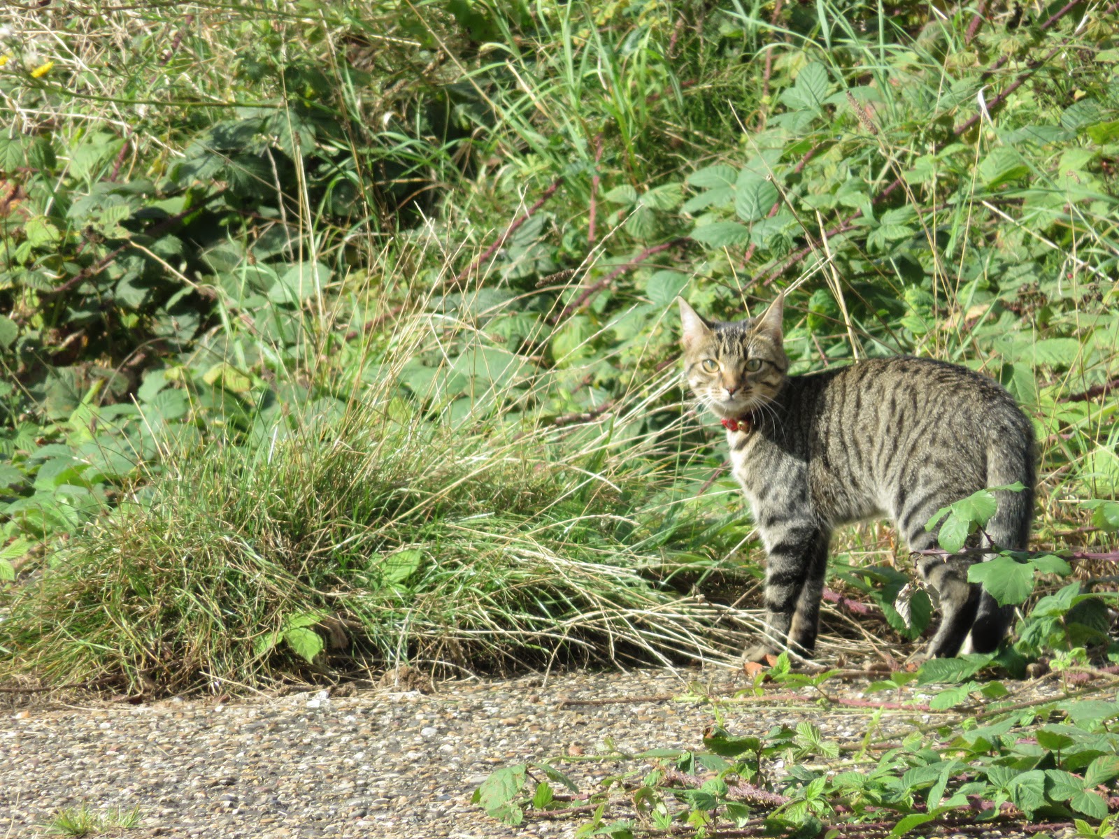
| Possibly the most adorable phenomenon on the route, found living in Erith
(Section 1). |
 |
| Muntjac deer have a loud bark, breed throughout the year, and since their
escape from private collections around a century ago have spread across the
English hinterlands. Keep a look out for them in the wilder parts like this
near Rickmansworth (Section 13). |
 |
| Watch where you tread. A frog in the grass near Forty Hall, Enfield
(Section 17). |
 |
| Watch out along the waterways as well and always look before sticking your hand in. |
And
for those who prefer their life forms floral, woody or not inclined to bite,
there is a wealth of impressive encounters available in both wild and planted
arrangements.
 |
| The old oaks and hornbeams of the Addington Hills (Section 4), one of the
LOOP’s most invigorating woodlands. |
 |
| A California redwood, imported remnant of what were once ornamental gardens
near Grim’s Dyke on the Harrow Weald (Section 15). The Dyke itself is a late
Iron Age or early Roman earthwork (over 2,000 years old) thought to have been a
boundary marker or livestock barrier; later Anglo-Saxon immigrants did not
understand what it was for and called it Grim, a name for the Devil. |
What
if capitalism and violent austerity have oppressed you out of the time, energy
and money to walk the full route?
If you
are only able to do one or two sections, I would suggest the following as the
LOOP’s outstanding highlights.
Section 5: Hamsey
Green to Coulsdon South – Some of the finest open landscapes you are likely
to find inside the M25, culminating with the panoramic Happy Valley and chalk
ridge of the Farthing Downs over Coulsdon.
Though
it be hard to escape the crush of the English capital’s high-pressure worlds
and stories, so many more, unfamiliar and often bizarre, swirl just outside its
event horizon and offer unusual perspectives on the troubles of both the city
within and the country without.


The "chubby dinosaurs" are the mythical Royal Beasts of Heraldry!
ReplyDelete