A
recent mountain article on here introduced the
Ōtsuki
valley, a corridor of roads, farms and suburban settlements through
the mountains, joining Tokyo with Yamanashi's central basin. Here we
have another mountain walk route, this time on the valley's north
side.
Two mountains feature prominently
here. Momokura-yama
(百蔵山)
stands at 1003m above the hamlet of Saruhashi (“monkey bridge”).
To its east is Ōgiyama
(扇山)
at
1138m, so named for apparently resembling a spreading fan from the
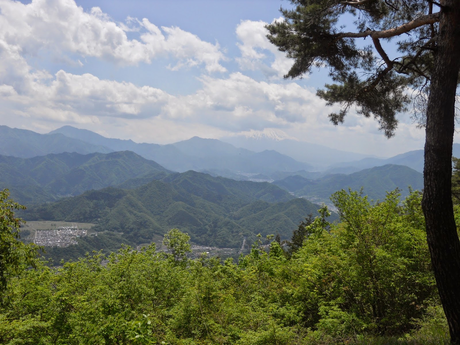
south. Both offer very pleasant views of classic Japanese
countryside, of peaceful villages with their farms and rivers and
rails and roads, nestled amidst rolling mountains and lush mixed
forests with Mt. Fuji dominant in the background.
The
old Kōshū
Kaidō
(甲州街道),
one of the Edo Five Routes, also runs through here, albeit mostly
superseded by its modern successor, National Route 20. Like the more
prominent Tōkaidō
road, this was another of the old ways in and out of the Kantō plain
– but where the Tōkaidō connected Edo to the west, the Kōshū
Kaidō
penetrated inland to the important provinces of Kai and Shinano (now
roughly Yamanashi and Nagano, respectively). The final part of this
walk traces the route through the old post station settlement of
Inume.
 |
| Momokura-yama (百蔵山), with the Chūō Expressway in the foreground. |
 |
| The summit of Ōgiyama (扇山). |
This walk is tough. It features regular ups and downs, including two
prolonged strenuous climbs and a steep descent in the middle, as well
as a protracted slog along tarmac at the end. On the other hand, the
paths are in excellent condition and very well signposted, facilities
and vending machines are plentiful in the opening and closing
stretches, and there are plenty of options for shortening the route.
The final hour and a half can be skipped altogether by bus, although
the marvellous scenery makes it well worth seeing it through on foot.
Plan for around seven hours of walking if you attempt it. And at this
time of year, be sure to bring sunscreen and plenty of water to
sustain yourself in the powerful heat.
To get there, take the JR Chūō
Line out to Saruhashi
(猿橋)
station,
where the walk starts. It finishes at Shiotsu (四方津)
station, three stops back towards Tokyo.
From the north exit of Saruhashi station follow the road north,
crossing National Route 20. Just to your right will be a 7-Eleven
convenience store; cross the Katsuragawa river over the bridge on its
right.
High ahead soars the Chūō
Expressway. Pass under it and turn right at the T-junction, whereupon
you will come almost immediately to a crossroads.
The way to the mountain is left
up the hill, but if you have time, it may be worth doing a 30-minute
detour to one of Ōtsuki's
interesting local attractions. Saruhashi means “monkey bridge”,
and its namesake is just a kilometre east along the river: just keep
going until you see it down on your right. It is a very old bridge,
and is so named because its architecture was supposedly inspired by
monkeys joining their hands to swing across the chasm.
 |
| Looking east from atop the bridge, at an old hydroelectric power waterway. |
 |
| Oh look, a tanuki. |
To visit this, I recommend taking this route along the north side of
the chasm, and not the south one along the traffic-heavy,
pedestrian-unfriendly National Route 20.
Either way, the way into the mountains continues from the
aforementioned crossroads, up the climbing northern road signposted
to Shiei
Ground (市営グラウンド).
Labour your way up through this residential area until you come to a
Y-junction just past a sports club, and go left, as signposted to
Momokura-yama. Don't forget to look behind you as you go: you have
direct line of sight towards Mt. Fuji in places.
Soon you will come to another Y-junction, this time with both roads
signposted to the mountain. Go right here; there are toilets just
ahead if needed. From there the road winds upwards past a water
treatment facility.
The road now ascends through mountain greenery. Ignore the first dirt
path for Momokura-yama you pass on the right (you want the west
route, not the east); instead follow the road all the way to the end,
past a grand temple gate with two lion statues. Eventually you will
pass a small shrine and reach the end of the road, where the
trailhead proper begins.
Here begins a good hour of climbing. There is only one path and it is
easy to follow. The continuous uphill may get a bit demanding, but in
good time you will emerge onto a little plateau with a bench, which
offers a splendid vantage point over the Ōtsuki
valley.
It is not far from here to the
top of the ridge, where a signpost directs you right for a final,
easy stroll to the Momokura-yama summit.
The summit has lovely views of
its own, and is a good place to refuel with some lunch.
 |
| Notice Mt. Fuji, head concealed in the clouds. |
After a good rest, continue east.
The trail starts deceptively gentle, then without warning plummets
into a sharp descent. The gradient does not relent for about twenty
minutes, so be very careful with your footing.
There now follows a long 90-120
minutes of rolling along this bright and verdant ridge, up and down
some minor peaks on the way to Ōgiyama.
Covering this distance takes some time, but is not too demanding
until you come to the one called 大久俣山
whose
reading is beyond me. The approach to this peak is the second arduous
climb of the day, and while neither as long nor as tough as the first
mountain, it will hardly fail to incinerate your muscles after all
the hard work up to this point.
 |
| There are a couple of junctions along the way, but always well signposted. Stay on the path towards Ōgiyama. |
 |
| Once you see this, Ōgiyama is the next peak along. |
At
this point there is not much further to go, and the going is gentler.
Soon Ōgiyama's
summit comes into view. This is a lovely open grassland with some
more great views across the trees, and another prime chance for a
good long rest. It is also where you leave Ōtsuki-shi
– the rest of this walk is conducted in Uenohara.
 |
| The view east, along the Sagami River valley towards Tokyo. |
 |
| Close-up of the above. The large mass of buildings is Uenohara town. Fujino and Lake Sagami are just visible in the distance. |
Descend back to the valley by taking the east path off the summit.
The path is generally kind now, but there is a series of three
junctions to negotiate. Go left at the first one (signed to Inume –
犬目),
right at the second one and right at the third one, following the
large white signboard to Kimikoi Onsen (君恋温泉).
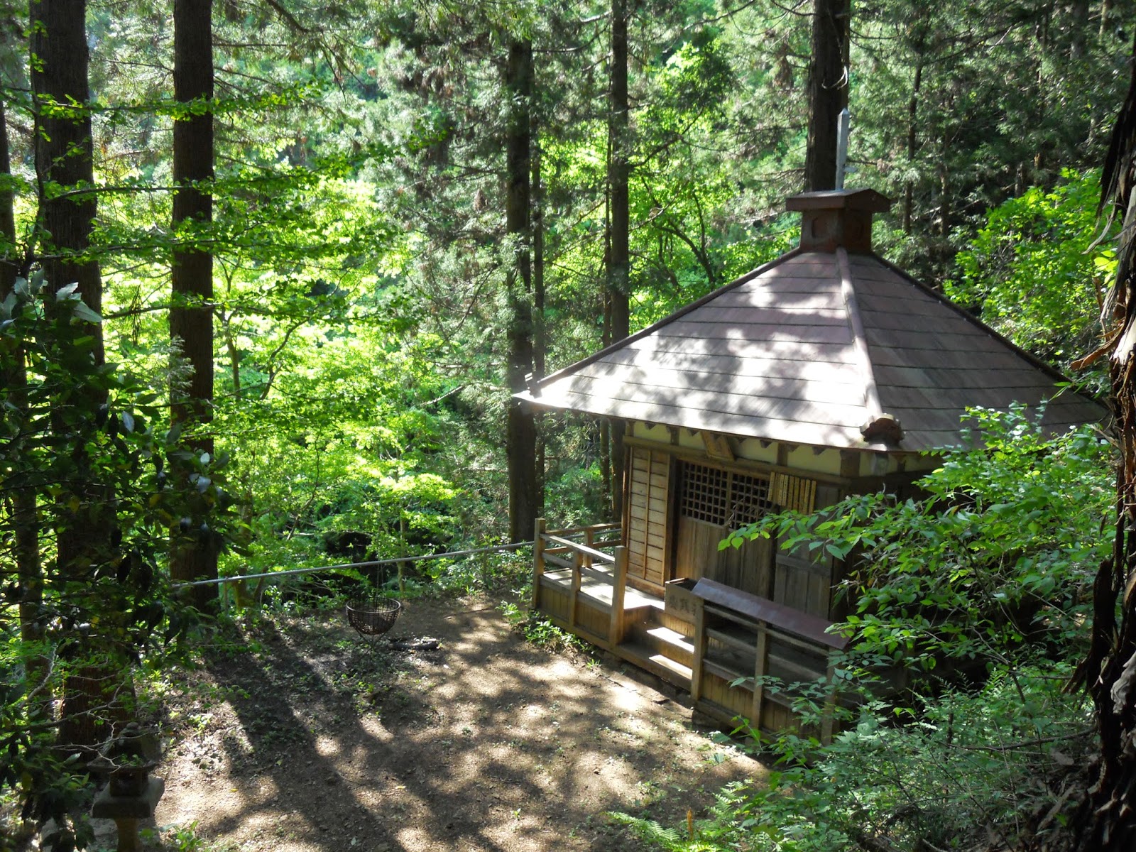
Soon after the last one you will come out at the Hakuba Fudō,
a shrine building in the woods.
 |
| Hakuba Fudō (白馬不動). |
Go down the steps in front of
this to the Jizo, and continue left (you can pop right first for a
quick look at a little waterfall).
The path finally emerges onto a
road. This is the Kōshū Kaidō, the old Edo period route into
central Japan.
Turn left onto the road, and
before long you will come to a bus stop which can get you out of
there if you cannot take any more. If you can, though, continue
walking to reach Inume (犬目).
This is now a quiet residential area, but in the old days it held the
twenty-first Kōshū Kaidō post station (from the Tokyo direction).
It was also where Katsushika Hokusai, for his Thirty-six
Views of Mount Fuji
series, painted this.
A fitting location. Through the
houses on the right you can make out stunning views over the valley,
and a little path up to a cemetery towards the end provides an
accessible vantage point.
 |
| The road through Inume. |
 |
| The view back west from the cemetery. Mt. Fuji has a clear profile in the centre, though has not come out well in this photo. |
From here to the end you are
walking on tarmac again. Most of these roads are quiet, but stay
alert for the occasional vehicles. Shortly beyond Inume the road
splits into three.
 |
| The mountains of Yamanashi are probably not the most intuitive place you would expect to find a shipbuilding concern. |
At the fork in the picture, take
the right-hand road which slopes down, after a few minutes, to a rare
crossing over
the Chūō Expressway. Go straight across, and follow the descending
road ahead.
 |
| The Chūō Expressway, looking west. It is not often you get to look down onto this thing. |
 |
| Be careful not to dig up any innocent telephone cables as you go. |
 |
| You will still find plenty of pedestrian signs at helpful locations. |
On
down this road you will pass the Ōme
(大目)
Primary School, before arriving at the next scenic landmark: Ōno
Reservoir (大野貯水地).
This is a picturesque lake with a little island with birds nesting on
it. In the sakura season its shores are lined with beautiful cherry
blossoms, making it a popular hanami
site.
 |
| Ōme Primary School. |
 |
| Ōno Reservoir. |
Proceed along the road, beside
the reservoir's north bank, until you come to the dam at the east
end. Continue on the road here (do not cross the dam), and turn right
at the sign for the final descent to Shiotsu (四方津)
station. This last stretch is not short on charming arcadian
prospects of its own – some good final returns for those who found
it in themselves to do all this from start to finish.


No comments:
Post a Comment